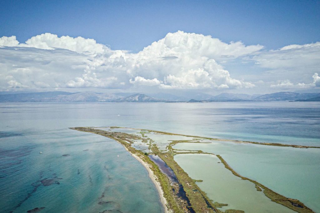
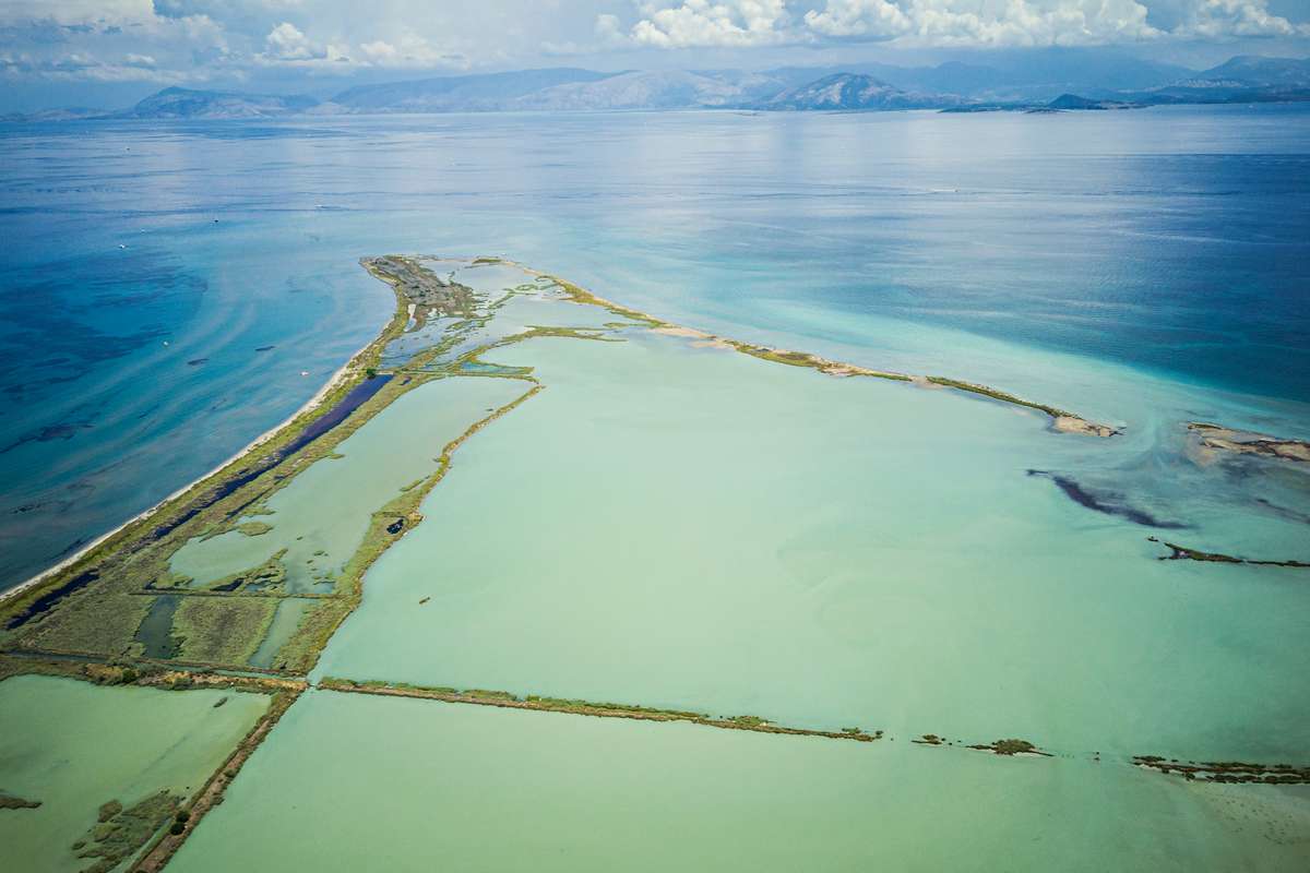
Alykes Lefkimmis consists of a peninsula of about 2000 acres in southern Corfu. They are one of the most important wetlands on the island. The area was named so as for years it operated as Aliki. In the central and northern parts is the shallow lagoon that ends in the south in the remnants of the pans, ie the alopecia in which the salt was collected and in salt marshes. To the south and at a distance of 1.2 km are the estuary of the floating river of Lefkimmi, while the salt flat borders to the south and southeast with wetlands, age-old olive groves and large wastelands from alluvial deposits. The Lefkimi saltworks were in continuous operation from the medieval centuries and the Andean era (13th-14th century) until 1988, when salt was last produced and the profession of salt miners, as the local workers were called, ceased. Since then, the physiognomy of the area has changed a lot and it is endangered by the erosion of the eastern coastline. Lefkimmi Saltworks belong to the Natura 2000 network and as a Special Protection Area for birds, they remain a first class place for bird watching of dozens of species of birds. In the area is the Corfu Environmental Education Center and some salt warehouse buildings.
 Χάρτης
 Περιγραφή
 Σημεία
 Φωτογραφίες
Lefkimmi salt pans
Γ.Μ. 39.449943 - Γ.Π. 20.069446
Σημεία ενδιαφέροντος


